Copyright � 2014 by Richmond Mining & Exploration (Pty) Ltd � All Rights reserved � E-Mail: info@richmondexp.co.za
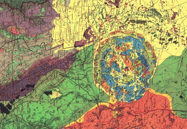
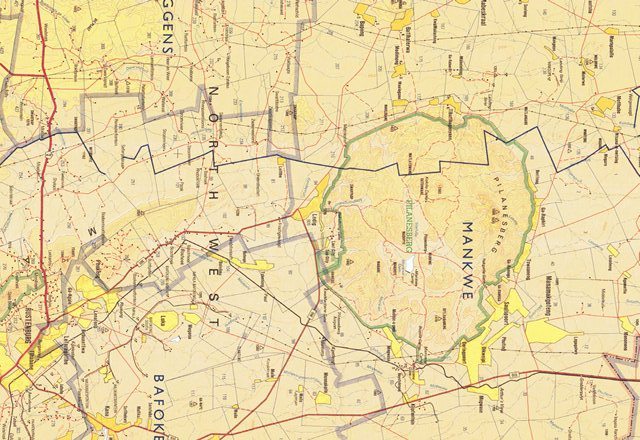
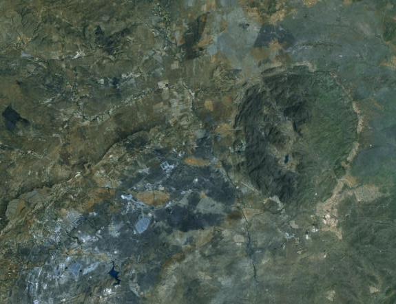
Richmond is a licensed PlanetGIS Enterprise user, providing capability to work with vectors, raster and databases on an extremely large scale. Currently, Richmond provides full coverage over South Africa and parts of Mozambique in rendering extensive remote sensing studies.
Planet GIS is fully integrated with most raster imaging including TIFF, GeoTIFF, JPEG, Indexed JPEG's, ECW and SID's. This provides capability to continually enhance imagery and expand into new areas across the globe. The CAD-like interface supplies functionality to digitise any object of interest, in any form desired. The option to connect directly to a GPS ensures the seamless transfer of data, eliminating the possibility of human errors.
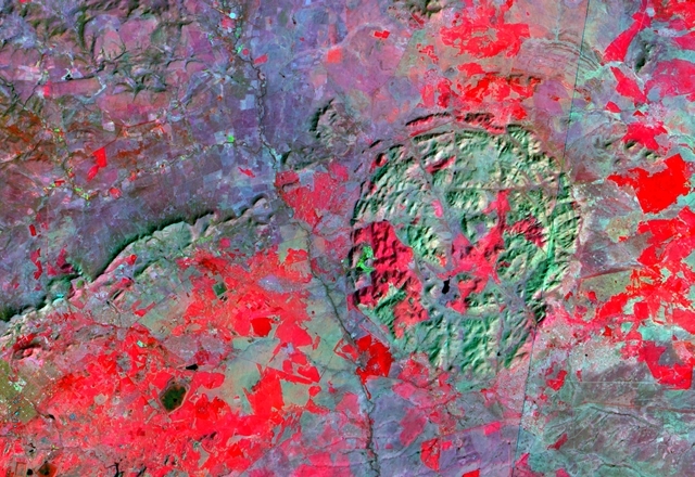
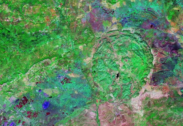
Richmond's remote sensing capability therefore provide pinpoint accuracy in any known co-ordinate system, projection and datum, as well as conversion between the different varieties.
Planet GIS is fully integrated with most raster imaging including TIFF, GeoTIFF, JPEG, Indexed JPEG's, ECW and SID's. This provides capability to continually enhance imagery and expand into new areas across the globe. The CAD-like interface supplies functionality to digitise any object of interest, in any form desired. The option to connect directly to a GPS ensures the seamless transfer of data, eliminating the possibility of human errors.
Richmond's remote sensing capability therefore provide pinpoint accuracy in any known co-ordinate system, projection and datum, as well as conversion between the different varieties.